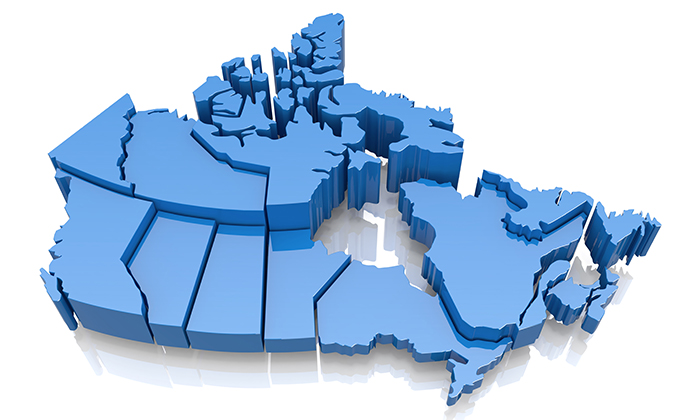
Spatial data can be used in conjunction with data sets managed by Population Data BC.
Spatial data is data with location information that can be linked to places in geographic space and visualized as a map or used in spatial analysis. Spatial characteristics apply to most population health related phenomena and these can be mapped and analyzed, using software such as Geographic Information Systems (GIS), to investigate questions of concern to population health researchers.
More information on GIS, including a free online workshop in GIS and Epidemiology and a resource guide on mapping health data, can be found in the Education and Training section of this website.
Examples of publicly available spatial data include:
- Geobase - a federal, provincial and territorial government initiative providing access to a common, up-to-date and maintained base of quality geospatial data for all of Canada.
- Geodgratis - a portal provided by the Earth Sciences Sector (ESS) of Natural Resources Canada (NRCan).
Please note that there are special considerations to be taken into account when displaying spatial data and/or using maps to protect individual confidentiality.


